Kurt Kühnert
Software Engineer specializing in geospatial technology and computer graphics, with expertise in GPU-based algorithms and large-scale terrain rendering.
About Me
Experienced Software Engineer specializing in software development and computer graphics, with a strong focus on geospatial technology. Known for being detail-oriented and adaptable, I effectively tackle complex challenges with a commitment to precision. My expertise includes large-scale terrain rendering and the implementation of GPU-based algorithms. I excel at applying my skills to develop software that visualizes complex datasets, translating intricate information into clear insights that support informed decision-making. I am always eager to learn new technologies and transfer my skills to various topics within computer science.
Projects
Bevy Terrain
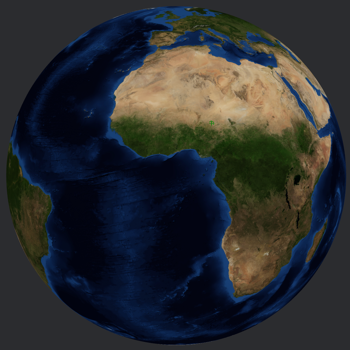
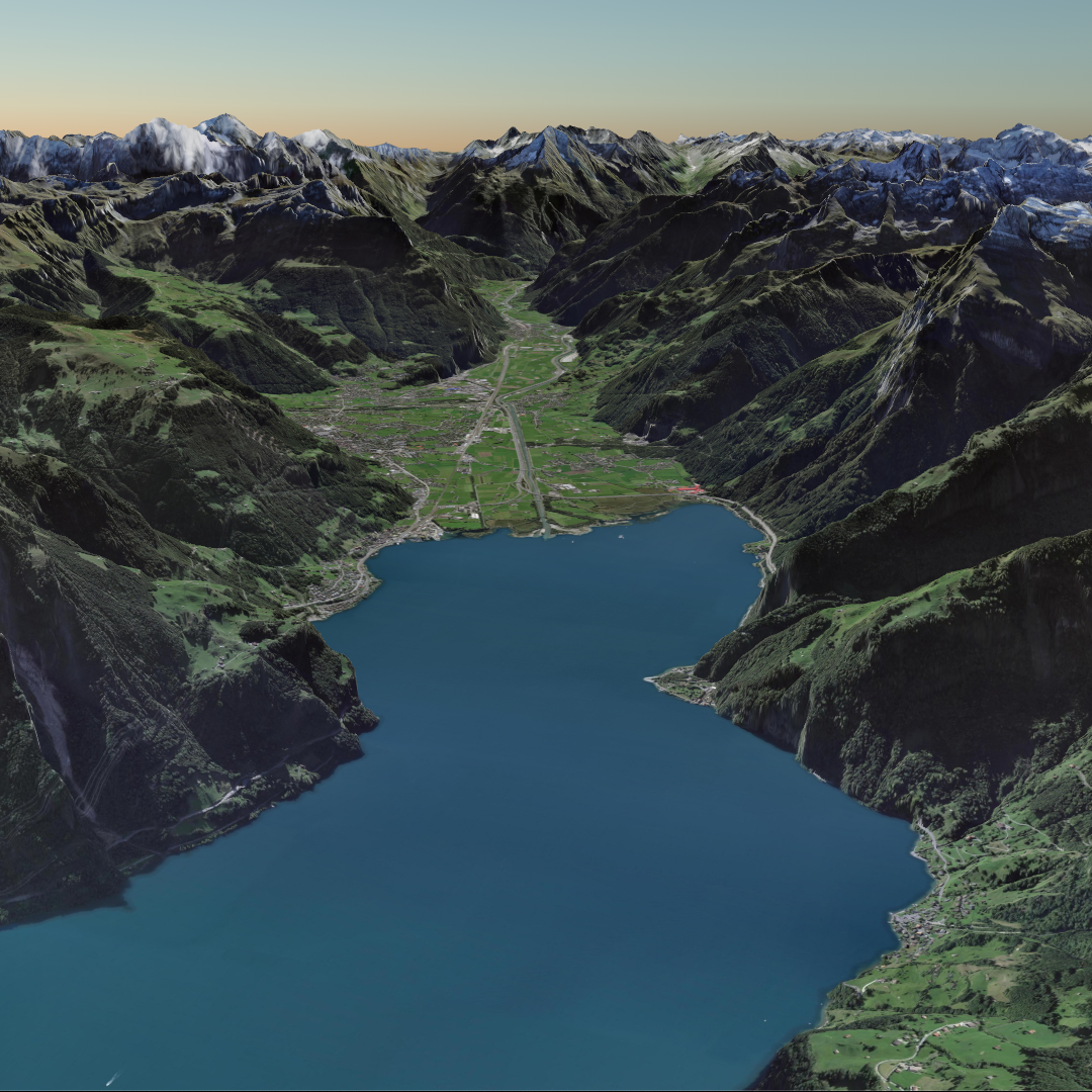
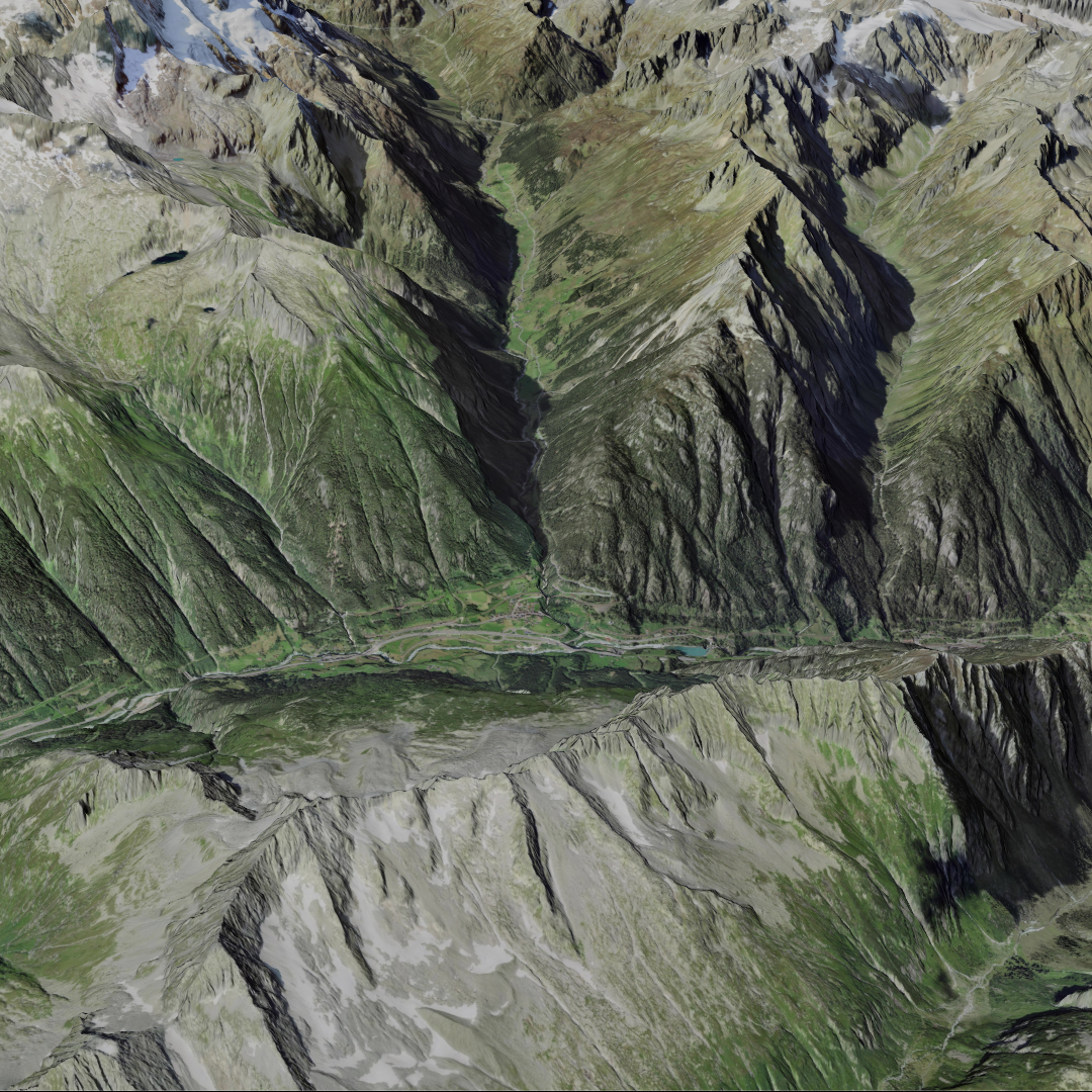
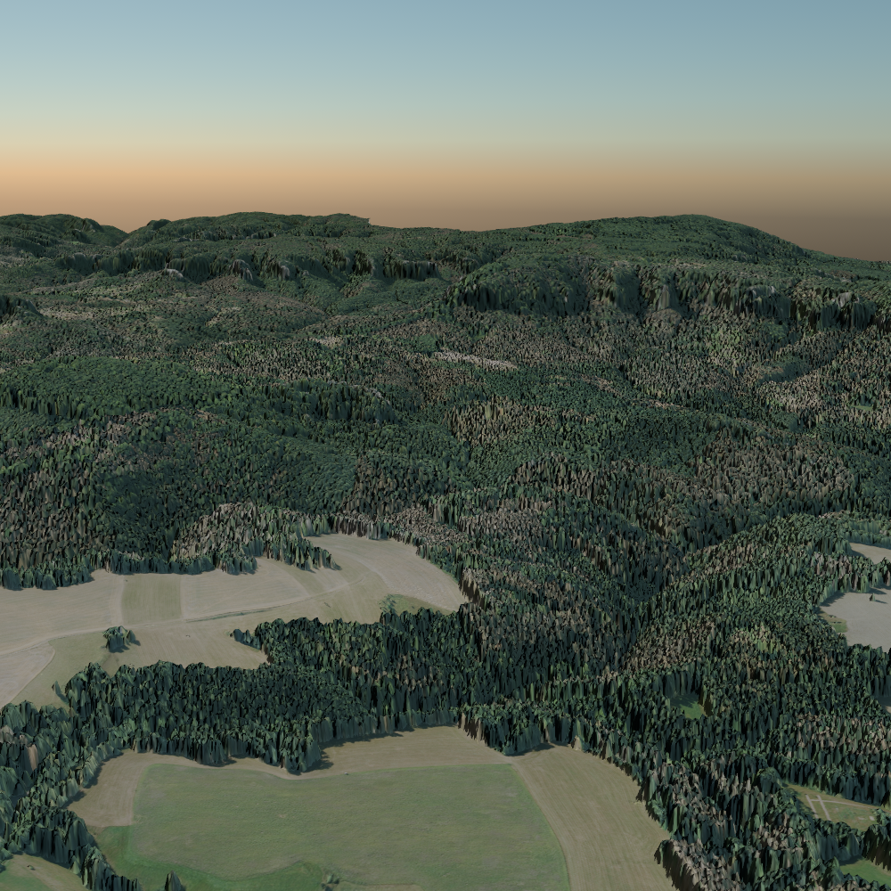
Bevy Terrain is an open-source library designed for visualizing geospatial datasets with a focus on high-performance rendering and intuitive user experience. Built using Rust and WebGPU, the library features advanced terrain rendering techniques, including spherical terrain support and high-precision mesh subdivision, to provide seamless and accurate visualizations of large-scale terrains.
Publications
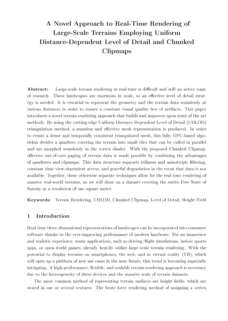
A Novel Approach to Real-Time Rendering of Large-Scale Terrains Employing Uniform Distance-Dependent Level of Detail and Chunked Clipmaps
Kurt Kühnert; Tom Uhlmann; Guido Brunnett
VR/AR Workshop, 2023
Abstract
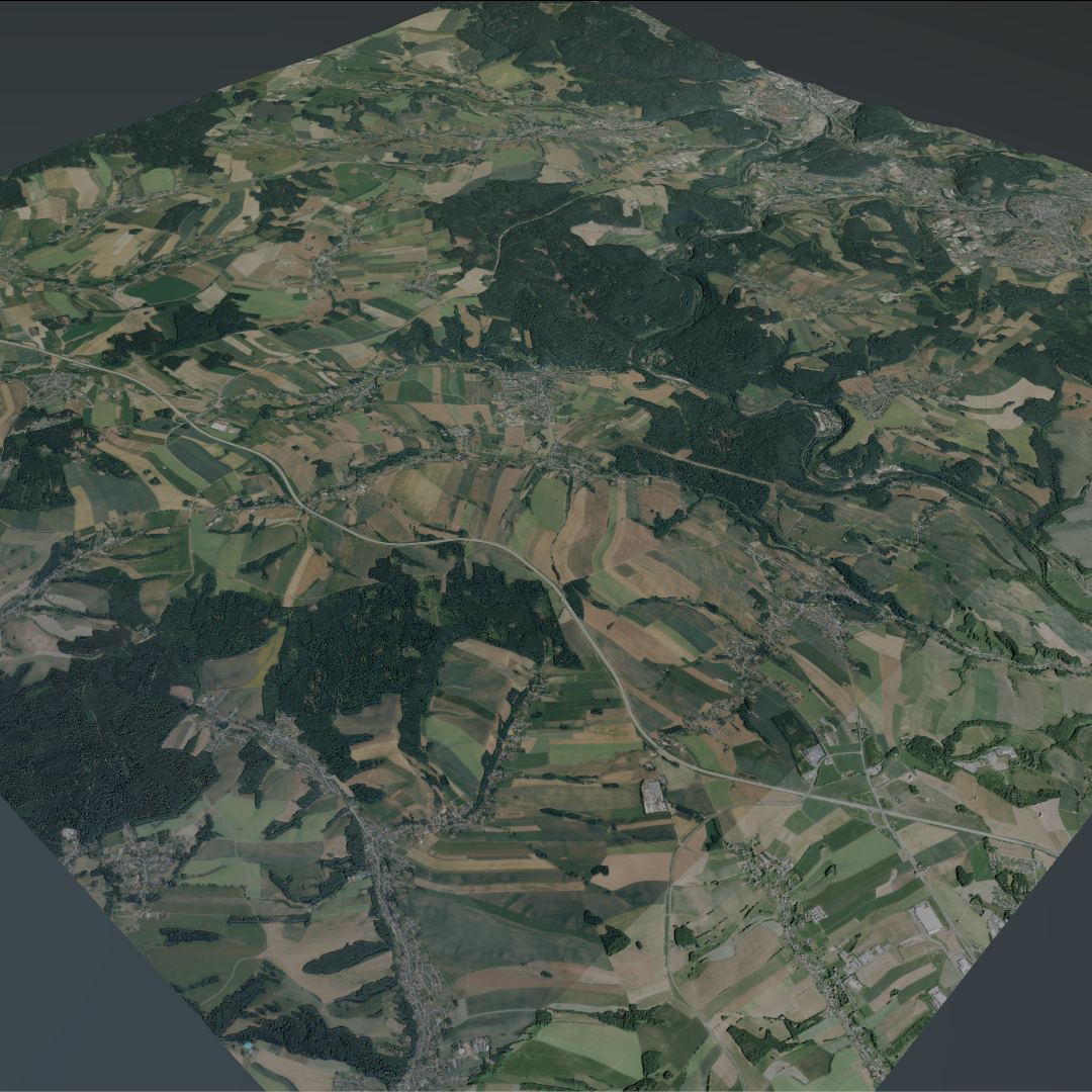
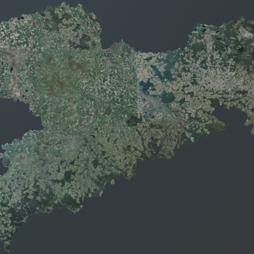
Large-scale terrain rendering in real-time is difficult and still an active topic of research. These landscapes are enormous in scale, so an effective level of detail strategy is needed. It is essential to represent the geometry and the terrain data seamlessly at various distances in order to ensure a constant visual quality free of artifacts. This paper introduces a novel terrain rendering approach that builds and improves upon state of the art methods. By using the cutting-edge Uniform Distance-Dependent Level of Detail (UDLOD) triangulation method, a seamless and effective mesh representation is produced. In order to create a dense and temporally consistent triangulated mesh, this fully GPU-based algorithm divides a quadtree covering the terrain into small tiles that can be culled in parallel and are morphed seamlessly in the vertex shader. With the proposed Chunked Clipmap, effective out-of-core paging of terrain data is made possible by combining the advantages of quadtrees and clipmaps. This data structure supports trilinear and anisotropic filtering, constant time view-dependent access, and graceful degradation in the event that data is not available. Together, these otherwise separate techniques allow for the real-time rendering of massive real-world terrains, as we will show on a dataset covering the entire Free State of Saxony at a resolution of one square meter.
Keywords
Experience
Software Developer
Argeo
Oct 2023 - Jul 2025 (1 year 10 months)
Developed the spherical terrain rendering feature for the open-source Bevy Terrain library using Rust and WebGPU to enhance the visualization of geospatial datasets. Implemented high-precision mesh subdivision based on the WGS84 ellipsoid to alleviate floating point imprecision on the GPU.
Software Developer
Foresight Spatial Labs
Mar 2023 - Apr 2023 (2 months)
Developed the Compatible Particle-In-Cell (CPIC) algorithm for a Material Point Method (MPM) particle simulation. Enabled two-way coupling between particles and rigid bodies through the implementation of the CPIC algorithm.
Education
Master of Science - MS Computer Science
Technische Universität Chemnitz
Oct 2023 - Sep 2025 (2 years)
Grade: 1.2
Bachelor of Science - BS Computer Science
Technische Universität Chemnitz
Oct 2019 - Sep 2023 (3 years 11 months)
Grade: 1.1
